Learn more about the Shire’s Coastal Hazard Risk Management and Adaptation Plan and Limestone Cliff Stability Assessment, including the proposed and completed works designed to mitigate coastal processes.
Prevelly Gnarabup Foreshore Management Plan 2022
Public comment was invited in early July 2022 (now closed) on the draft Foreshore Management Plan.
The Plan considers the management of the coastal reserves from Gas Bay in the south to the Margaret River mouth in the north with a focus on protecting the high environmental, cultural and recreational values.
The Plan has considered and made recommendations on weed management, revegetation and management of low-key infrastructure such as signage, beach access and fencing. Planning for community infrastructure and facilities along this coastal area will commence soon and will include community consultation.
The draft plan and current status is provided on the Shire's Your Say platform.
Coastal Hazard Risk Management and Adaptation Plan
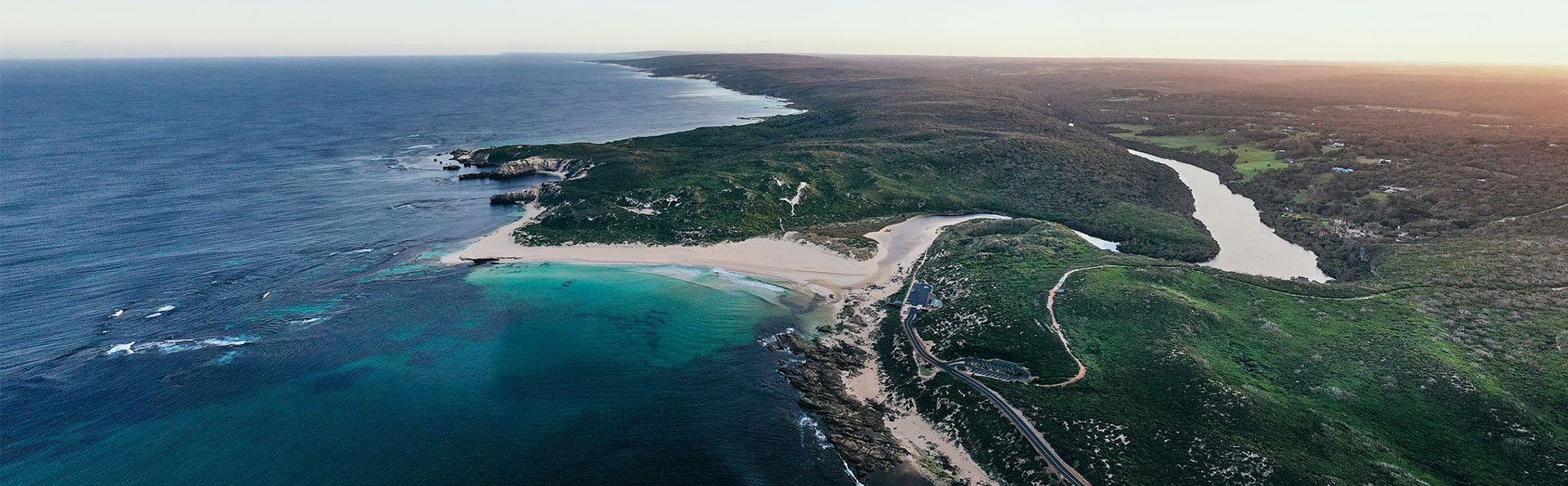
To protect recreational users and Council assets, the Shire monitors and manages areas potentially exposed to hazardous coastal processes, such as storm erosion and sea-level rise.
The purpose of the Coastal Hazard Risk Management and Adaptation Plan is to provide strategic guidance for areas potentially exposed to coastal processes, specifically sea-level rise and storm erosion.
The plan focuses on seven study areas: Gracetown, Prevelly, Gnarabup, Hamelin Bay, Molloy Island, Augusta North, and Augusta South. It follows the process outlined in the State Coastal Planning Policy of risk identification, risk analysis, and risk evaluation.
A series of maps were prepared for each location, and the following risk categories have been developed:
- Low coastal exposure (potential exposure to coastal processes in 20–100 years)
- Medium coastal exposure (potential exposure to coastal processes in 10–20 years)
- High coastal exposure (potential exposure to coastal processes in 0–10 years).
Limited topographic and geotechnical data means the analysis of inundation and the influence of coastal processes (particularly along limestone cliffs) is limited to a broad scale assessment. As a result, a conservative approach has been adopted. The intended outcome is to prioritise investment for further assessment and monitoring in these areas.
The plan and maps can be downloaded below.
Limestone cliff stability
Limestone Cliff Stability Assessment
A Limestone Cliff Stability Assessment was prepared in 2017. The study aims to provide a better understanding of how limestone cliffs will react to coastal processes such as sea-level rise, storm surges, wind, and waves. It also helps assess and manage the risk to recreational users and assets near the coast.
The assessment covers Gracetown, Prevelly, and Gnarabup. It is based on a 100-year planning timeframe with a notional 0.9 m of sea-level rise.
A key outcome was to refine hazard mapping identified in the Coastal Hazard Risk Management and Adaptation Plan. The maps detail lower and upper extent hazard mapping, with blue lines representing recreational users and red lines representing Shire assets.
The lower extent of hazard lines defines the seaward side that may be impacted by rockfall collapse. The upper extent shows the landward side of the zone considered hazardous to Shire assets due to cliff regression over a 100-year period.
The assessment report can be downloaded below.
Limestone Stability Report
Following the Limestone Cliff Stability Assessment, modifications were made to stairs at Gracetown and Surfers Point, and additional signage was installed throughout the Shire.
In 2019, further investigations were undertaken at Gracetown, Surfers Point, and Gnarabup. These resulted in the recommendation of four key actions:
- Removal of a small overhang at Gracetown
- Installation of a protective fence at Riflebutts, consisting of high tensile wires and posts that extend from the toe of the cliff into the surf zone
- Underpinning of the overhang under the concrete stairs that lead from the upper car park down towards the cafe at Gnarabup
- Installation of additional fencing and signage at Surfers Point, with a possible future underpinning of an overhang near the main break access stairs.
The full report and Council resolution can be downloaded below.
Gracetown and Cowaramup Bay Foreshore Management Plan
The management plan below was developed in 2020, for the Shire managed foreshore areas of Cowaramup Bay.
The plan identifies key management actions including weed control, revegetation and management of access tracks.
More information and contact
For more information on this work, please contact the Landcare and Environment Team at the Shire on (08) 9780 5255 or email [email protected]