Wetlands and waterways throughout the Shire are highly valued by the community. The waterways, wetlands and other water dependent ecosystems including karst systems are fundamental to the regions global significance as a biodiversity hotspot.
Wetlands, swamps and brooks
There are a significant number of wetlands and swamps and brooks throughout the Shire, including:
- Kilcarnup swamps
- Wilderness drive swamps
- Margaret River swamps
- Devils Pool on Boodjidup Brook
- Lake Davies Wetlands
- Turner Brook Wetlands.
Rivers and creeks
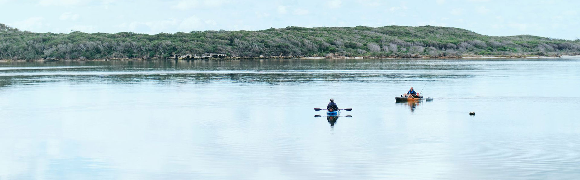
There is one small river, three creeks and eleven minor creeks that drain the coast in the Cape to Cape area. The Blackwood and Scott Rivers are two significant rivers in the southern portion of the Shire. Both of these rivers lead to the Hardy Inlet, the largest estuarine environment within the Shire and noted for its habitat values.
Water quality in the Margaret River itself is considered to be good, due in no small part to the fact it originates in state forest and has a relatively continuous buffer of fringing vegetation for much of its length (Middle 2003).
Find out about protecting Wooditjup Bilya (Margaret River).
Inland waters - drainage basins, catchment and discharge zones
Inland waters are usually considered within the context of their drainage basins, catchments and discharge zones. These systems are essential for maintaining biodiversity and regulating catchment water balances. They also provide economic and social benefits by providing drinking water and irrigation water supplies, supporting food production and underpinning a diverse array of recreational, spiritual, inspirational, scientific, cultural and educational values.
A drainage basin is an extent of land where water from rain drains downhill into a body of water, such as a river, lake, estuary, wetland or ocean. The drainage basin includes both the streams and rivers that convey the water as well as the land surfaces from which water drains into those channels, and is separated from adjacent basins by a drainage divide.
The drainage basin acts like a funnel, collecting all the water within the area covered by the basin and channeling it into a waterway. Each drainage basin is separated topographically from adjacent basins by a geographical barrier such as a ridge, hill or mountain which is known as a water divide.
More information and contact
For more information, please contact the Landcare and Environment Team at the Shire on (08) 9780 5255 or email [email protected]