The Prohibited Burning Period for the Shire has been extended by two weeks and will aply until midnight, Tuesday 28 March 2023. No fires can be lit in open air. More information here

Location of dog exercise areas
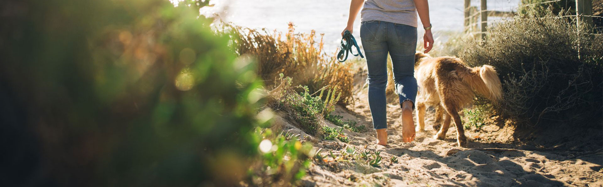
The following provides the locations of dog exercise areas in the Shire of Augusta Margaret River. 

Important note: In public spaces, dogs are required to be on a lead at all times, except within a designated dog exercise area. When using these areas, dogs can be off lead. However, they must be under effective control at all times. Penalties apply for non-compliance.

Dog exercise areas:

  • Civic Park, Hillview Road north to the Civic Centre
  • Leeuwin Road Park, bounded by Leeuwin Road, Osnaburg and York Streets
  • Flinders Bay, the southwest incorporating the beach area and to the most southern pathway near Flinders Bay Caravan Park.


Augusta Dog Exercise Areas Map (PDF)

Dog exercise areas:
  • Recreation Ground, bounded by Bussell Highway, Waverley Road, and Cowaramup Primary School
  • Parkwater Reserve, bounded by Pioneer Drive to the northwest and Honeytree Grove to the west
  • Parkwater Oval, bounded by Currawong Street in the east and Sunset Drive in the south. 
  • Portion of Symphony Waters Reserve.

Cowaramup Dog Exercise Areas Map (PDF)

Dog exercise areas:
  • Gnarabup public open space, from Reidle Avenue to Marmaduke Point Drive
  • Gnarabup Beach (also known as ‘Back Beach’), accessed by the steps at the Reef Drive car park, from approximately 170m north and 130m south of the access point
  • Prevelly Beach, from Narda Avenue approximately 300m southwest.
  • Prevelly public open space, Rifle Butts Reserve, excluding the children’s playground area.

Dog prohibited areas: 
  • Prevelly Beach, north of White Elephant Cafe to Georgette Way beach access footpath. 
  • Gnarabup Beach, from Reef Drive point (south end of Back Beach Dog Excercise Area) to Gas Bay.

Gnarabup Dog Exercise Areas Map (PDF)
Prevelly Dog Exercise Areas Map (PDF)

Dog exercise areas:
  • Cowaramup Bay Road, from Cowaramup Brook to Salter Street
  • Recreation Hall Reserve, west of the hall.

Gracetown Dog Exercise Areas Map (PDF)

Dog exercise areas:
  • The reserve bounded by Brookfield Ave to the south and Leschenaultia Ave to the west
  • Georgette, bounded by Georgette Drive and McKeown Place
  • Hillier Park, bounded by Tingle Avenue, Spinebill Ramble, and Hillier Drive
  • Gloucester Park Nippers Oval, Mon - Fri before 3:00 pm, Saturday and Sunday between 5:00 pm - 7:00 am, depending on scheduled sporting events (not pictured on map).
  • Rapids Landing Reserve, a portion of Crellin Place.
  • Brookfield, Reserve, a portion of Bottlebrush Drive, enclosed off-lead fencing.
  • Riverslea Reserve, a portion of Farmhouse Place.

Margaret River East Dog Exercise Areas Map (PDF)

Dog exercise areas:
  • Reserve 1956, Rosa Brook Road.

Rosa Brook Dog Exercise Areas Map (PDF)

Dog exercise areas:
  • West of Mammoth Street, bounded by Redgate Road to the south, Railway Reserve to the west, and May Street to the north. 

Witchcliffe Dog Exercise Areas Map (PDF)

Share this page

Back to Top of the page