Under the Emergency Management Act 2005, local governments are required to have local emergency management arrangements and establish an effective and collaborative Local Emergency Management Committee (LEMC).
Local Emergency Management Committee (LEMC)
The Shire’s LEMC is a committee established under the provisions of the Emergency Management Act 2005. The Act advises and assists the Shire in ensuring local emergency management arrangements are established for its district.
The LEMC membership includes the Shire of Augusta Margaret River, WA Police, Department of Fire and Emergency Services (DFES), St John Ambulance, Bush Fire Brigades, Department of Communities, WA Country Health Service, Department of Biodiversity, Conservation and Attractions, Department of Primary Industries and Regional Development, Main Roads WA, Water Corporation and Western Power.
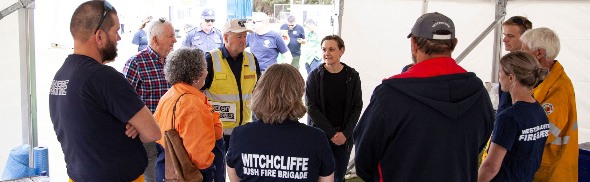
At their quarterly meetings, the committee discusses a strategic approach to reduce the impact of emergencies on the community and improve preparation should one occur. Part of the preparation involves holding mock exercises, which test the efficiency of the agencies responding to or recovering from an emergency. These exercises also allow the agencies to make improvements where necessary.
Local Emergency Management Arrangements (LEMA)
The aim of the Shire's Local Emergency Management Arrangements is to:
- Ensure there is a written understanding between agencies involved in managing emergencies within the Shire of Augusta Margaret River; and
- To document the management of identified risks within the Shire of Augusta Margaret River, including the specific details on prevention, preparedness, response and recovery activities.
Download the Shire's LEMA below.
Local Recovery Plan
The Shire’s Local Recovery Plan aims to detail the community’s recovery management arrangements that may be implemented following an emergency. These arrangements should quickly restore the quality of life in an affected community so it can continue to function as part of the wider community.
Download the plan below.
Evacuation plans
The following evacuation plan maps are provided in the document below:
- Map 1: Cowaramup Overview Map
- Map 1a: Cowaramup East
- Map 1b: Cowaramup West
- Map 2: Gracetown
- Map 3: Rosa Brook
- Map 4: Margaret River Overview
- Map 4a: Margaret River East
- Map 4b: Margaret River North West
- Map 4c: Margaret River South West
- Map 4d: Margaret River Town Centre
- Map 5: Witchcliffe
- Map 6: Gnarabup/Prevelly
- Map 7: Karridale/ Hamelin Bay Overview
- Map 7a: Karridale North
- Map 7b; Karridale South
- Map 8: Hamelin Bay
- Map 9: Kudardup
- Map 10: Molloy Island
- Map 11: Augusta/ East Augusta Overview
- Map 11a: Augusta South
- Map 11b: Augusta North
- Map 12: East Augusta.
Important note: Evacuation plans are not to be used to support planning/development applications.
More information and contact
For more information, contact the Shire on (08) 9780 5255 or email [email protected]